
________________________________________________________________________________________
Cape Leeuwin /ˈluːwɪn/ (listen) is the most south-westerly (but not most southerly) mainland point of the Australian continent, in the state of Western Australia.
Description
A few small islands and rocks, the St Alouarn Islands, extend further in Flinders Bay to the east of the cape. The nearest settlement, north of the cape, is Augusta. South-east of Cape Leeuwin, the coast of Western Australia extends much further south. Cape Leeuwin is not the southernmost point of Western Australia, with that distinction belonging to West Cape Howe, which is to the southeast, near Albany.[1]
In Australia, the cape is considered where the Indian Ocean meets the Southern Ocean, but most other nations and bodies consider that the Southern Ocean exists only south of 60°S.[2]
Located on headland of the cape is the Cape Leeuwin Lighthouse and the buildings that were used by the lighthouse-keepers.[3]
Cape Leeuwin is considered one of the three “great capes” of the world.[4]
Use of name
Cape Leeuwin is often grouped with the next headland north, Cape Naturaliste, to identify the geography and ecology of the region. One example is in the name Leeuwin-Naturaliste National Park. Another is in the use of the phrases Cape to Cape or the Capes in tourist promotional materials. A shore base and a ship of the Royal Australian Navy have been named HMAS Leeuwin after the cape.
History
The Wardandi, an Aboriginal Australian people, were the first peoples in the area. They called it “Doogalup”.[5]
The English navigator Matthew Flinders named Cape Leeuwin after the first known ship to have visited the area, the Leeuwin (“Lioness”), a Dutch vessel that charted some of the nearby coastline in 1622. The log of the Leeuwin has been lost, so very little is known of the voyage. However, the land found by the Leeuwin was recorded on a 1627 map by Hessel Gerritsz: Caert van’t Landt van d’Eendracht (“Chart of the Land of Eendracht”), which appears to show the coast between present-day Hamelin Bay and Point D’Entrecasteaux. Cape Leeuwin itself cannot be recognised.
Other European vessels passed by for the next two centuries, including the Dutch ‘t Gulden Zeepaert, commanded by François Thijssen, in 1627 and the French Gros Ventre, under Louis Aleno de St Aloüarn, in 1772.
The first known European sighting of the cape was by Bruni d’Entrecasteaux in 1791. d’Entrecasteaux thought the cape was an island, and named it “Isle St Allouarn” (“St Allouarn Island”), in honour of Captain de St Aloüarn. Ten years later, Matthew Flinders began his survey of the South coast of New Holland from Cape Leeuwin in 1801 when he named it. Flinders landed in the bay to the east of Cape Leeuwin, today’s Flinders Bay. Flinders was aware that the area had been known to the Dutch as “Leeuwin’s Land”.[6]
At two in the morning we had 80 fathoms, and veered towards the land. It was seen from the masthead at five; and the highest part, the same which had been set in the evening, bore N. 12° W. This is the largest of the before-mentioned Isles of St Alouarn; but at half past seven we saw hills extending from behind, and, to all appearance, joining it to the mainland. This supposed isle is, therefore, what I denominate “Cape Leeuwin”, as being the south-western and most projecting part of Leeuwin’s Land.[3]
The St Alouarn Islands is a group of islands off the tip of Cape Leeuwin.[7]

Cape Leeuwin area. Lighthouse and cottages upper right, with cars parked at the lighthouse carpark. The waves breaking are at the furthest end of the land behind the lighthouse. The road to Augusta is hidden by vegetation. The swamp and spring that supply the water wheel in mid ground. The day photograph was taken both sides were calm, a yacht might be seen just left of the lighthouse in the distance.
_______________________________________________________________________________________________________
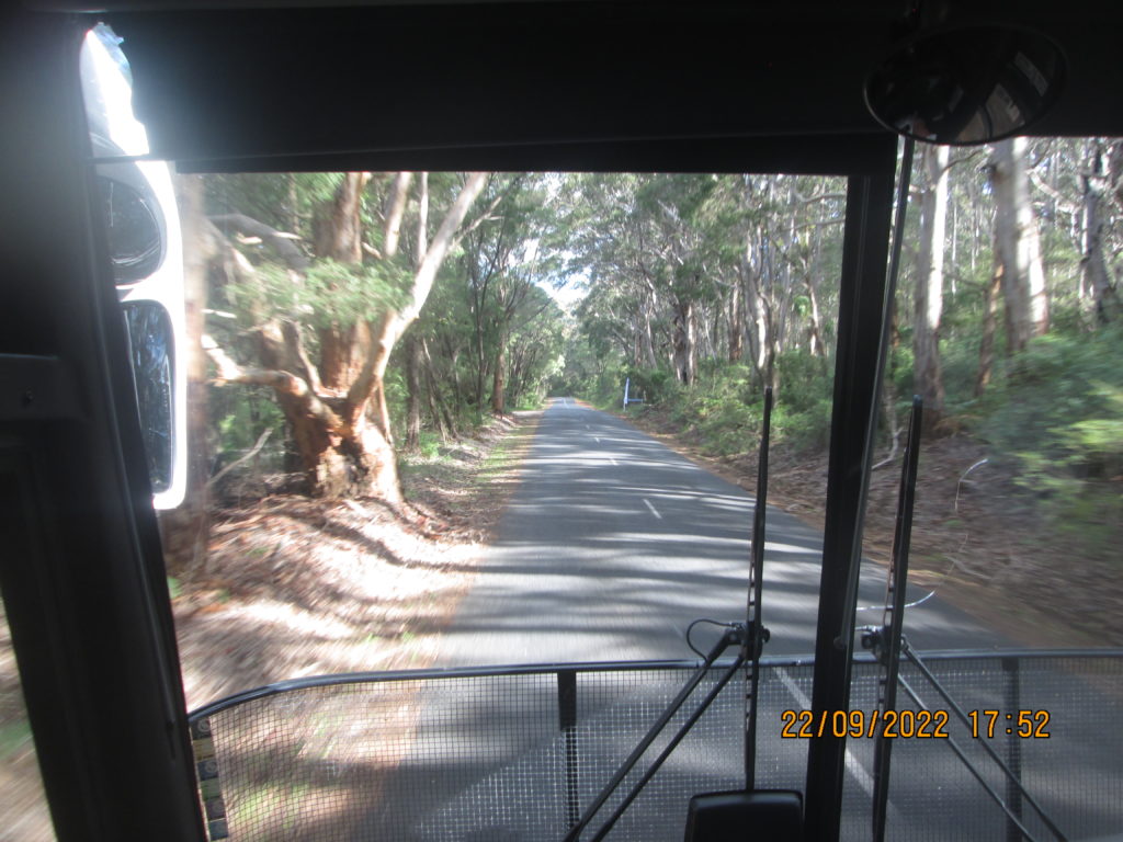
Bus going towards Cape Leeuwin.
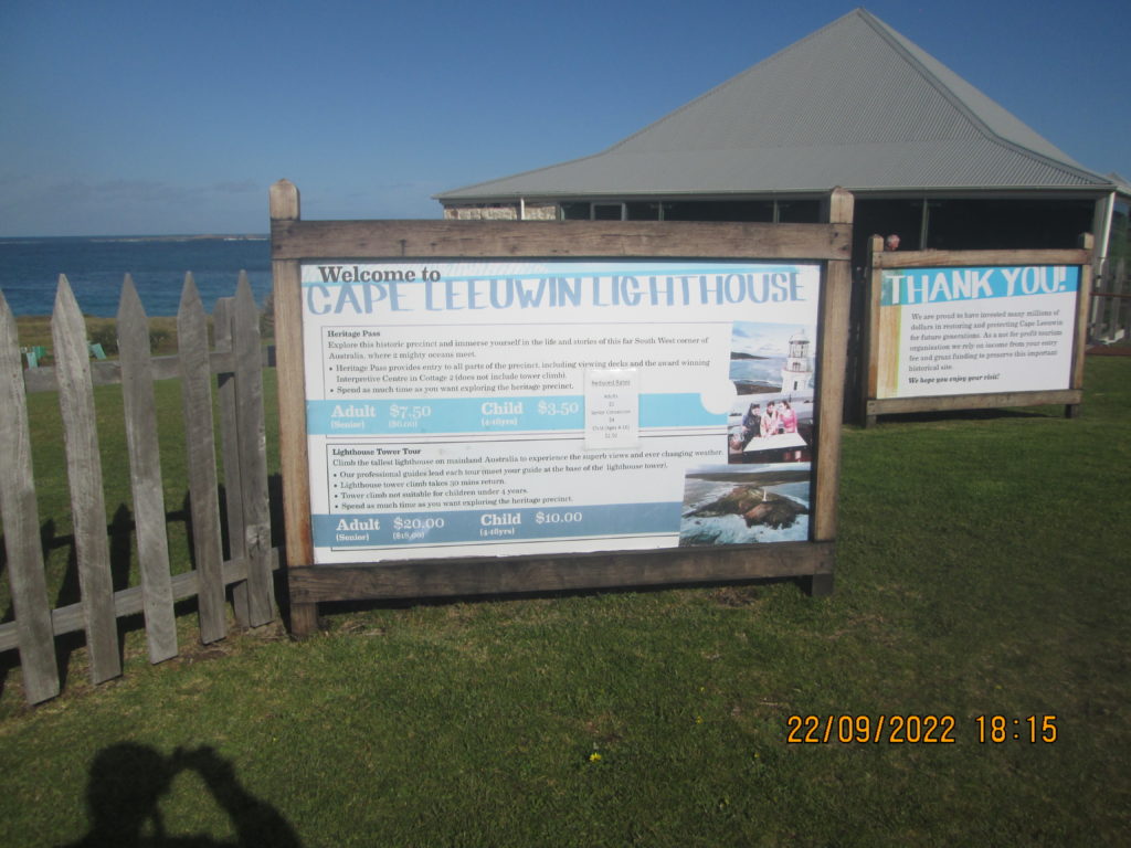
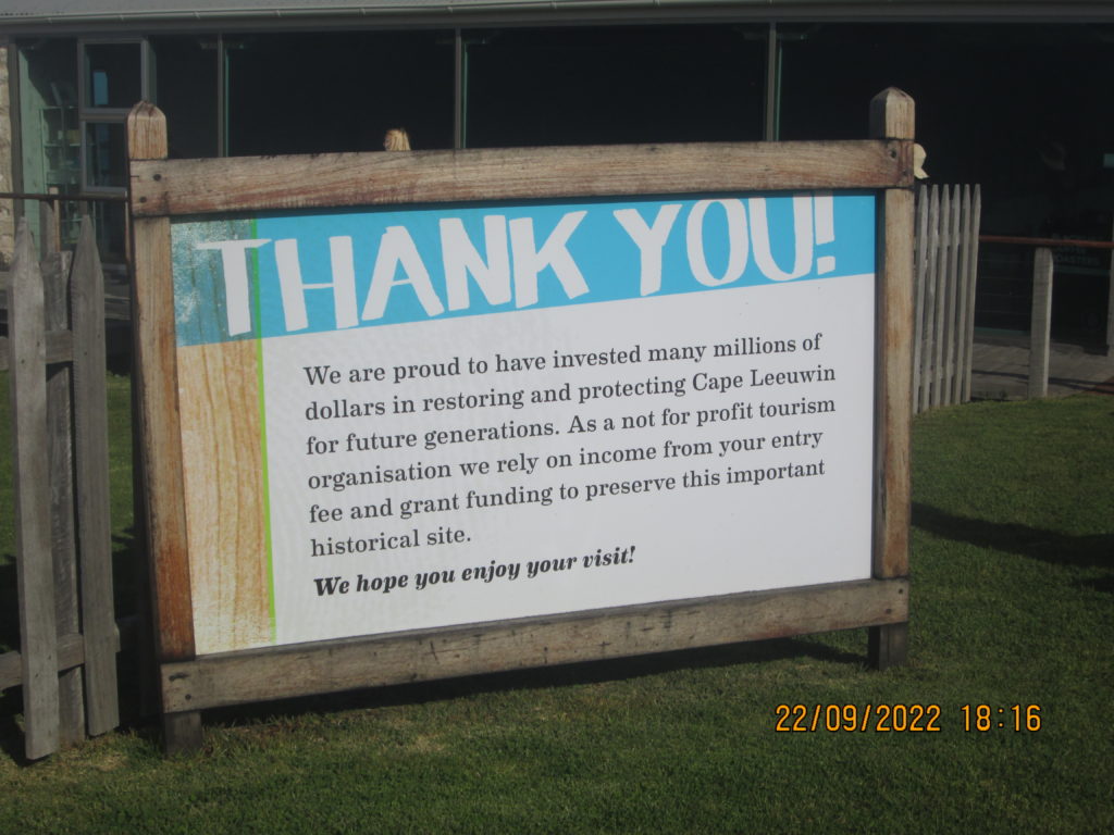
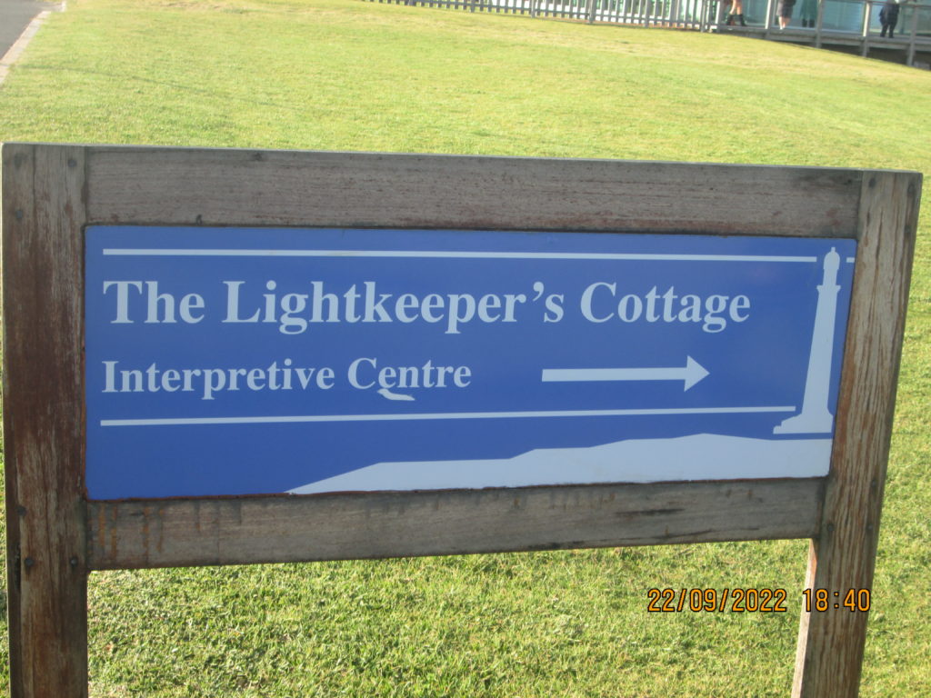
Signs for Cape Leeuwin.

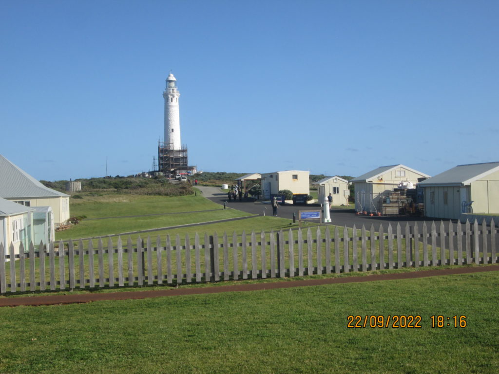
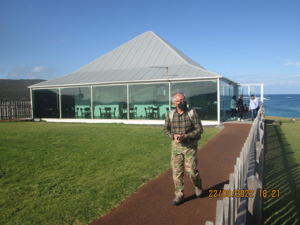
Lighthouse for Cape Leeuwin …… we couldn’t personal visit it as there was a lot of scaffolding with further restoration work. Harriet & I did visit it and went right inside of it a few years ago when we flew to Perth from Brisbane for a wedding for relatives.
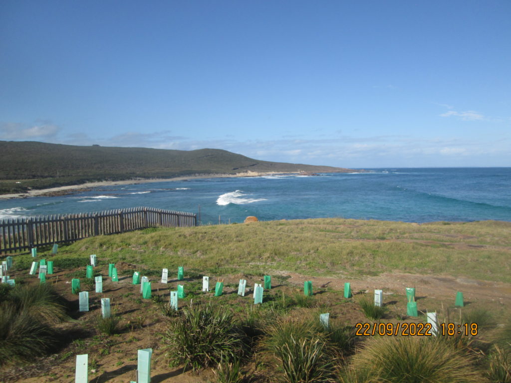
A vision of the sea on the eastern side of the Cape.
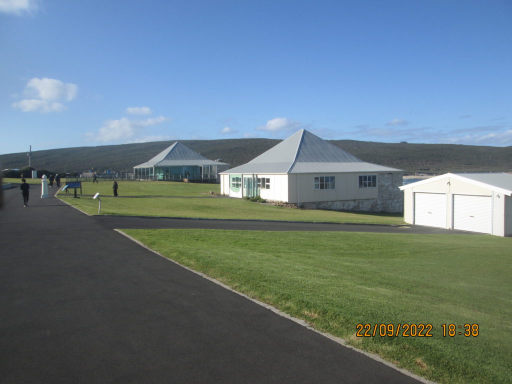
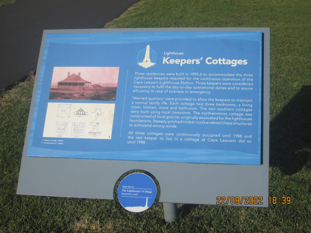
Keepers Cottages
Three residences were built in 1895-6 required for the three lighthouse keepers required for the continuous operation of the Cape Leeuwin lighthouse station. Three keepers were considered necessary to fulfil the day-to-day operational duties and to assure efficiency in the case of sickness or emergency.
‘Married quarters’ were provided to allow the keepers to maintain a normal family life. Each cottage had three bedrooms, a living room, a kitchen. store and bathroom. The two southern cottages were built using local limestone. The northern most cottage was constructed of local granite, originally excavated for the lighthouse foundations. Steeply pitched timber roofs enabled these structures to withstand strong winds.
All three cottages were continuously occupied until 1988 and the last keeper to live in a cottage at Cape Leeuwin did so until 1998.
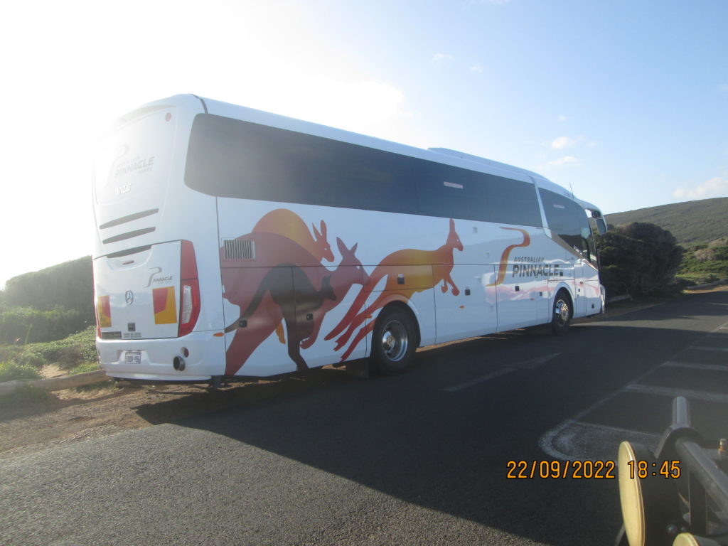
The bus we were on to come from Perth to Cape Leeuwin.
________________________________________________________________________________________________________________